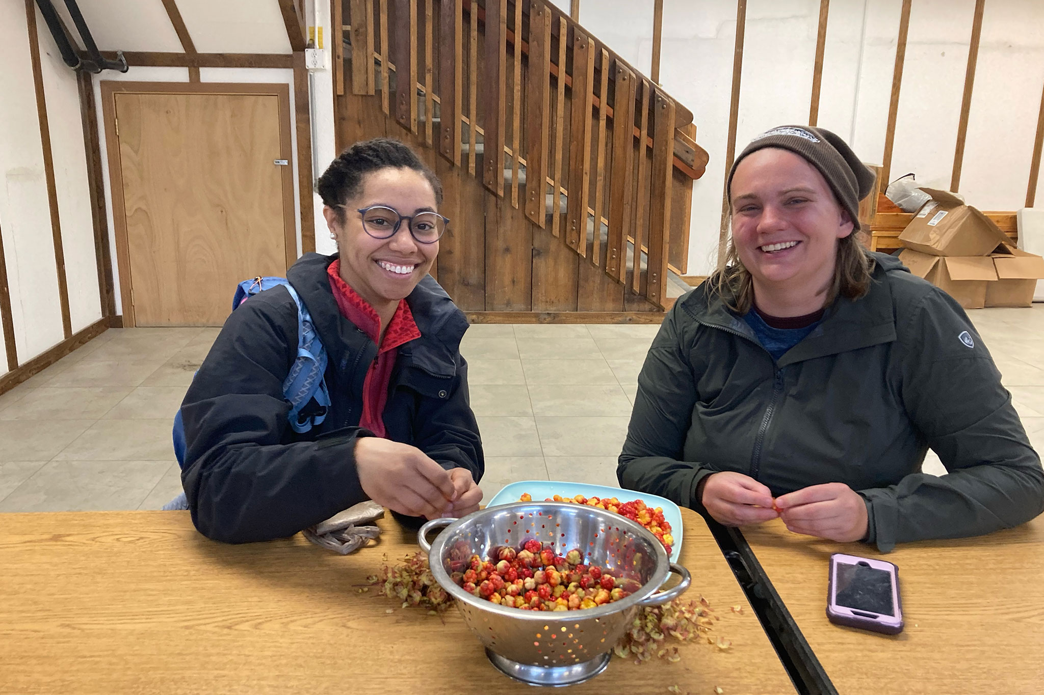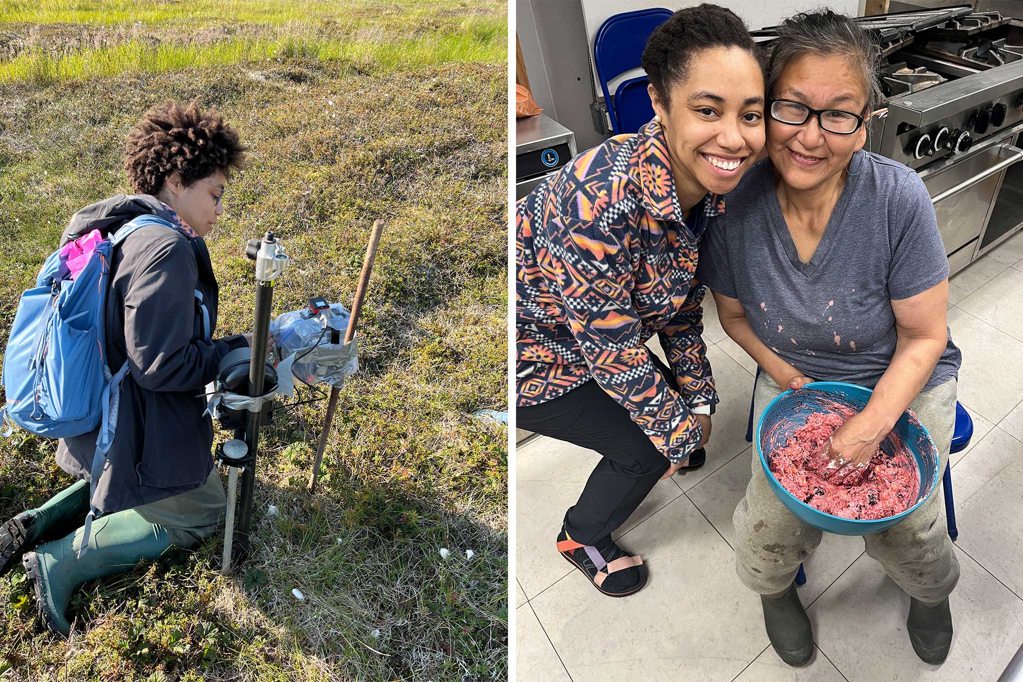
USDA Salmonberry Project
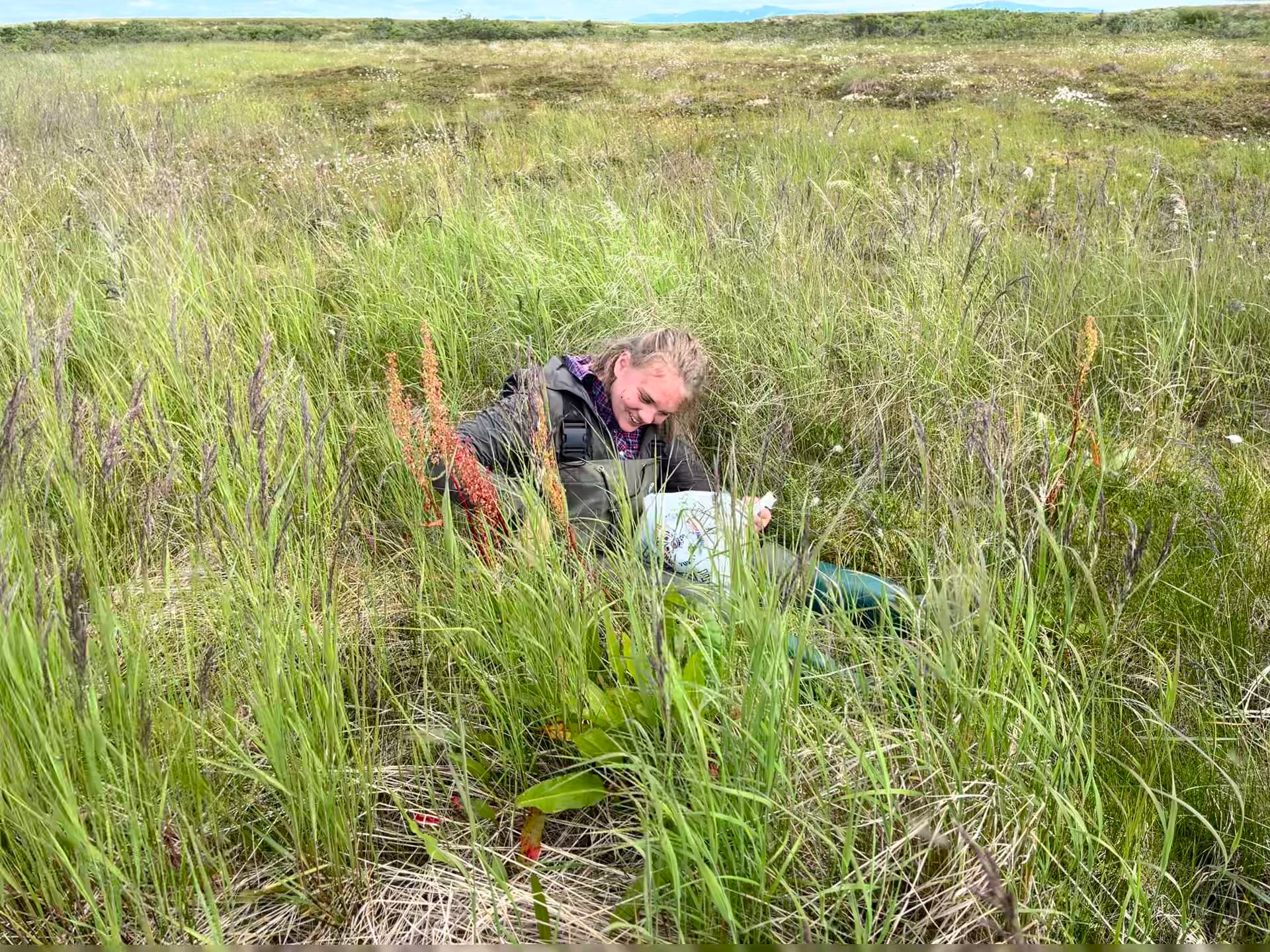
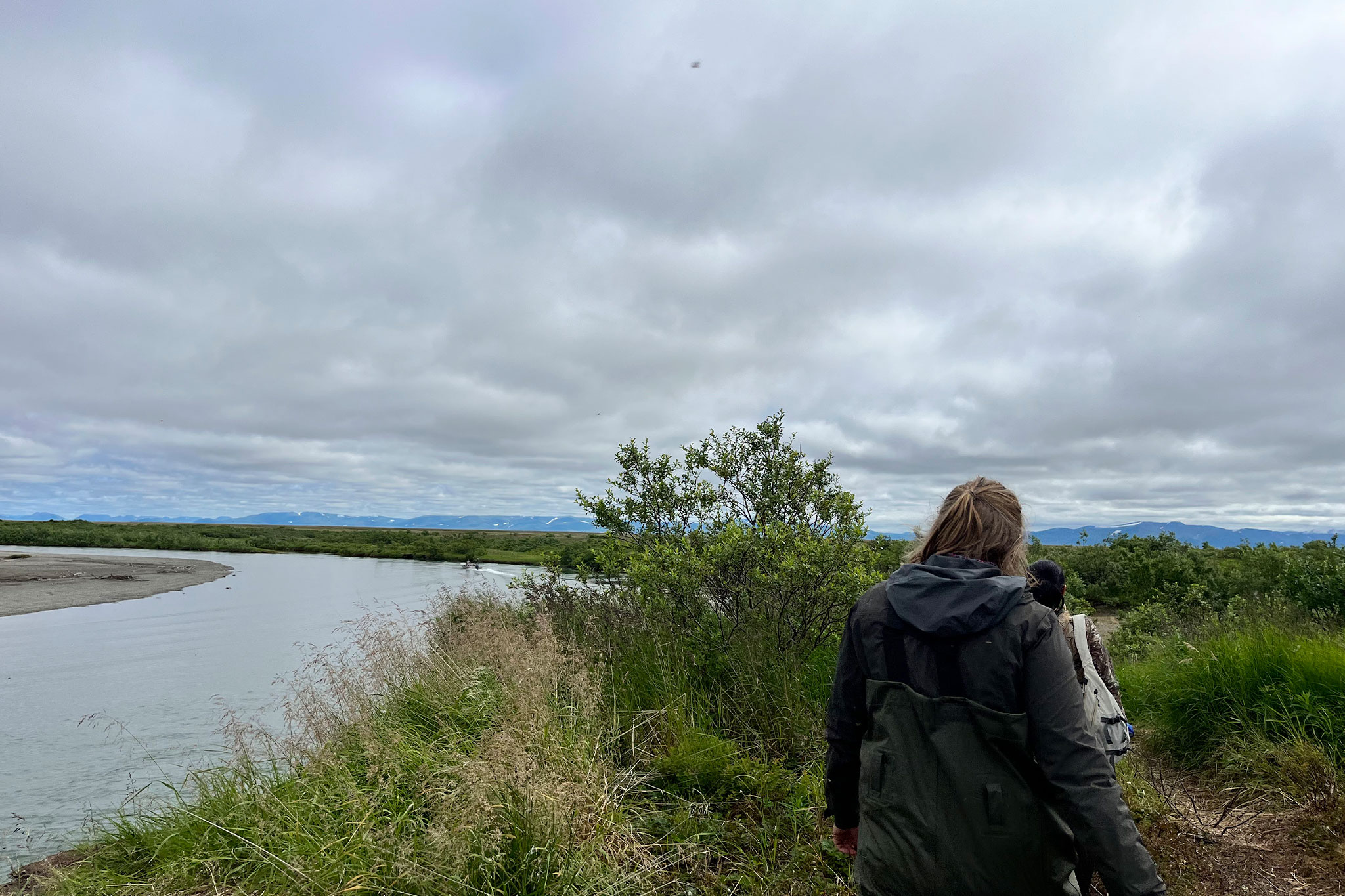
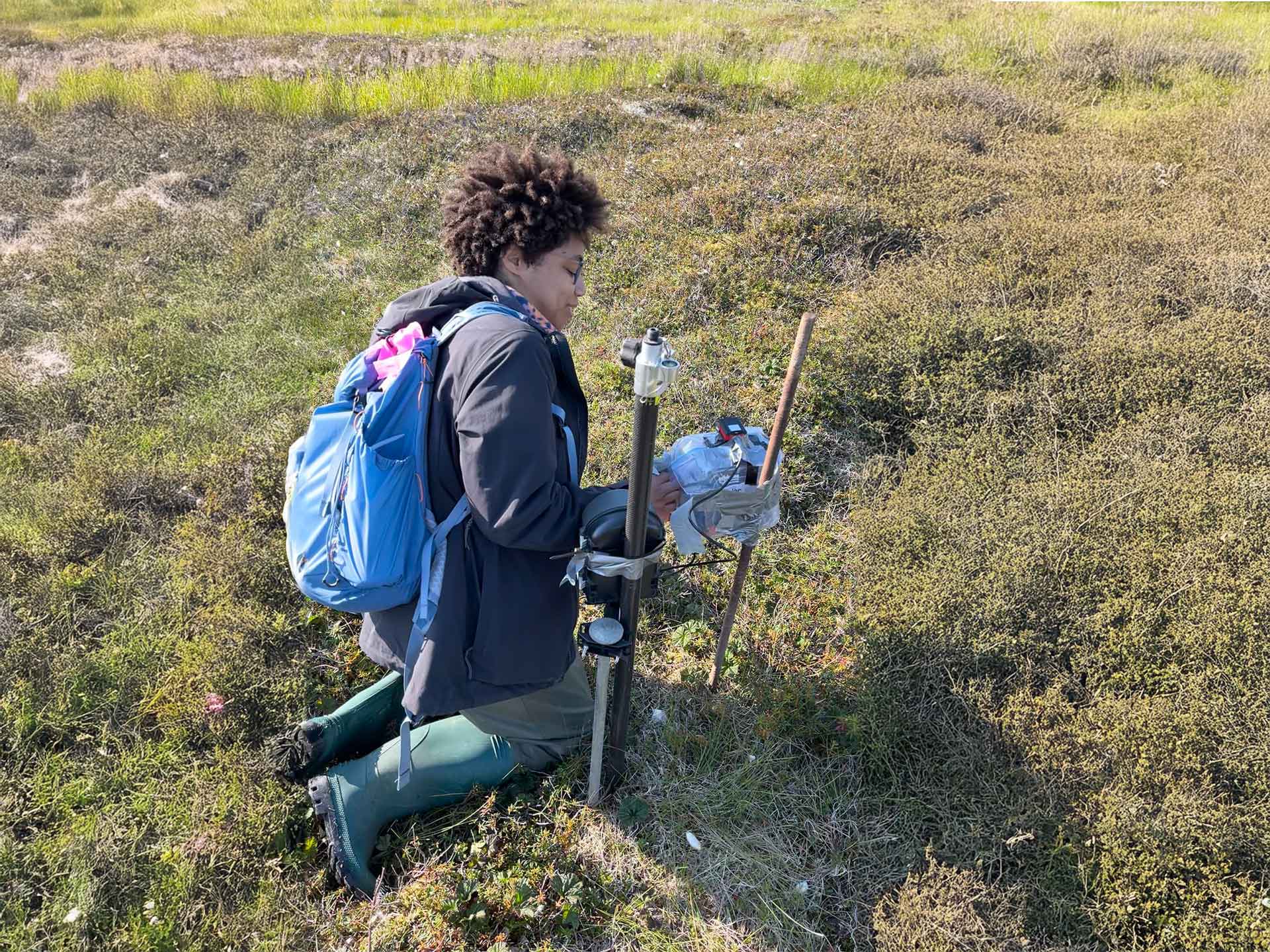
Rural Indigenous Alaskan villages have long wrestled with food insecurity. During early colonization, restrictions on subsistence food practices put a strain on local consumption patterns, and today, climate instability continues to threaten indigenous food production systems. Rising sea levels, coastal erosion, decreased winter snowpack, and increased rates of permafrost thaw threaten the growing range and increase variability in harvests of cloudberry. Cloudberry (Rubus chamaemorus) is a vital subsistence plant that is a significant source of fiber, Vitamin C, and other micronutrients. Harvest of this important plant includes travel into dangerous open waters via boat or through the tundra with an ATV. Both modes of transport rely on expensive gasoline and take considerable time for travel and hand harvest. The purpose of this research is to integrate oral histories of Indigenous community members with unmanned aerial system (UAS) imagery to monitor and predict future harvests of cloudberry. RGB UAS surveys were conducted in a small Indigenous village, Quinhagak, which has been particularly impacted by climate change in the last decade and has a strong research capacity through Nalaquq, a Yup’ik owned 14(h) ANCSA corporation subsidiary. Nalaquq has spearheaded efforts to train community members in UAS use for search and rescue efforts. Thus, community members have extensive training in UAS data collection methods, which provided valuable skills that are transferrable to other tasks. This empowers the community to independently contribute to monitoring the landscape.
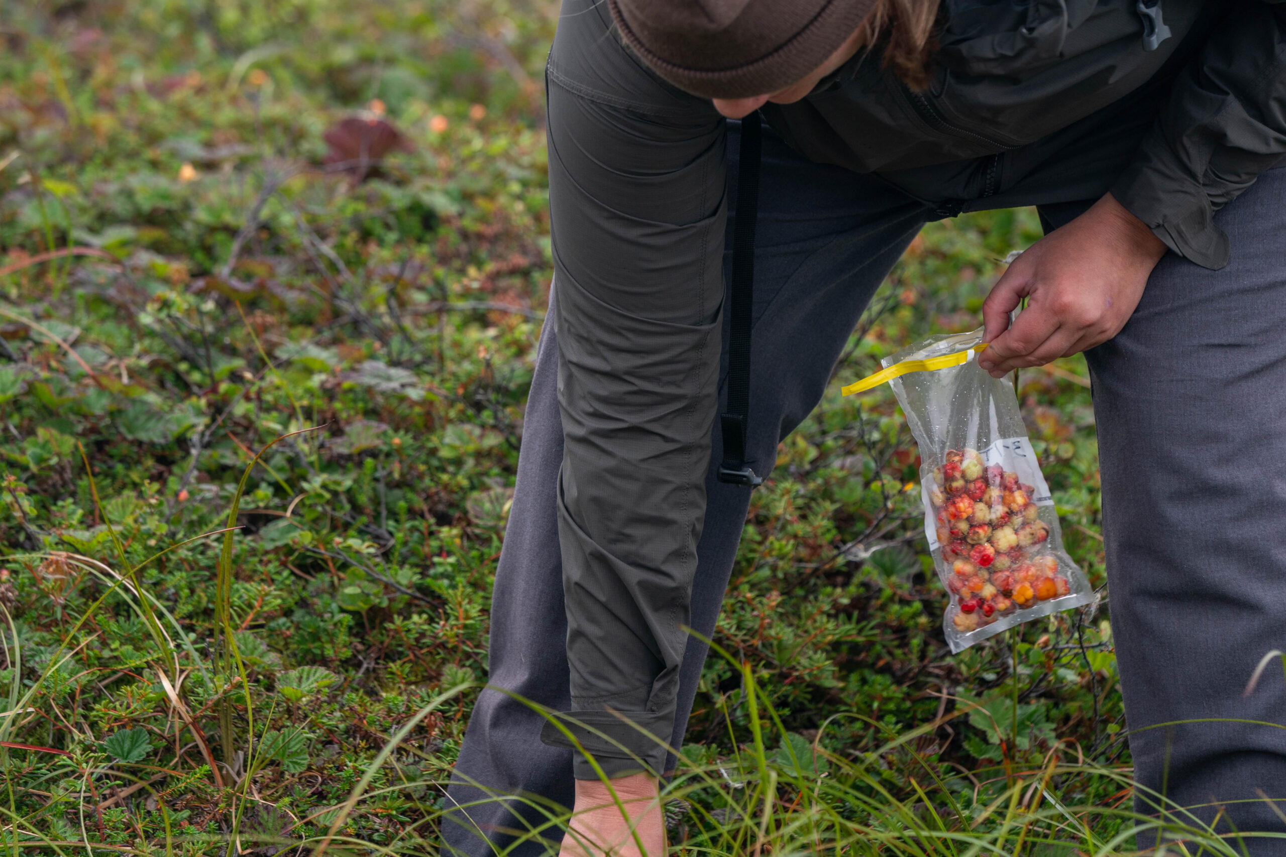
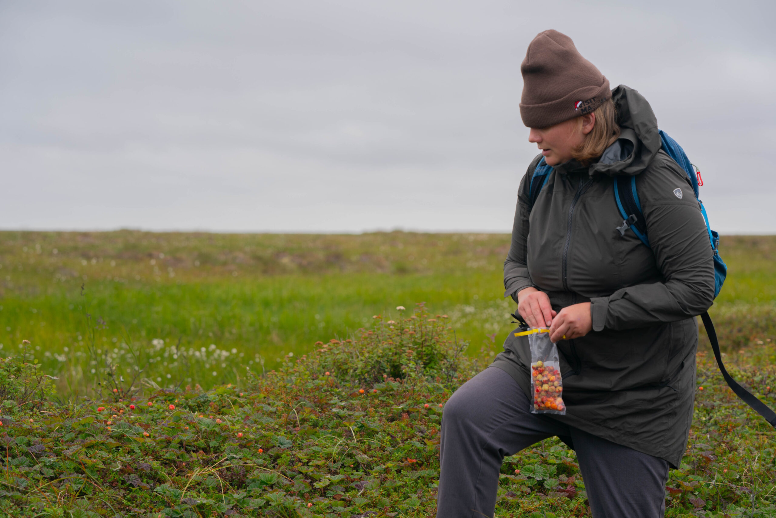
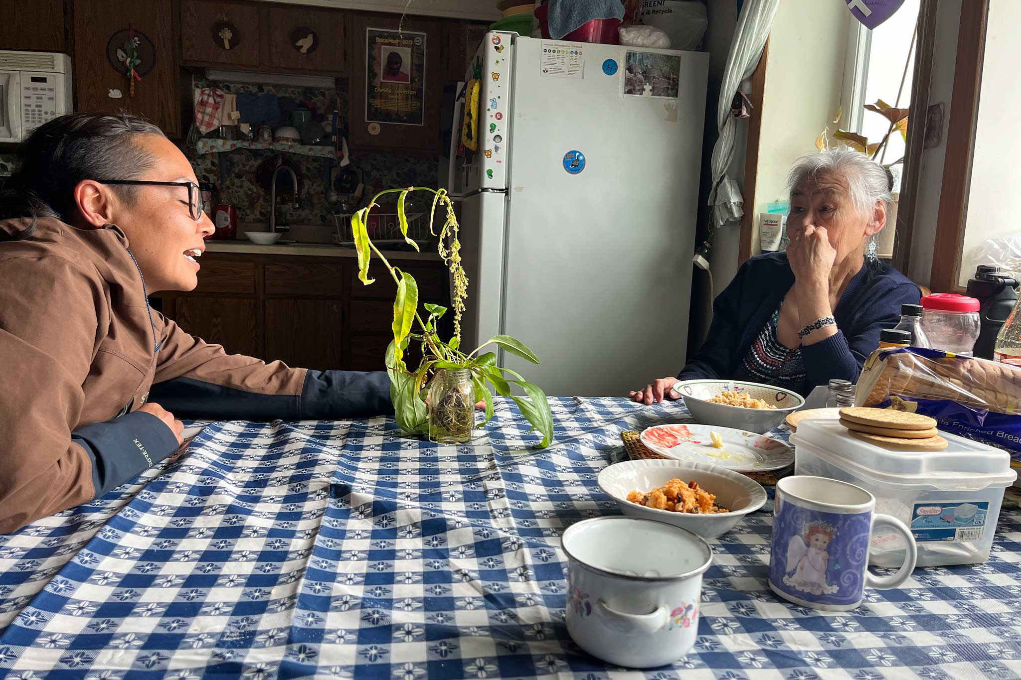
In the summer of 2024, approximately 25 ethnographic interviews were conducted to evaluate the location of major berry picking areas, attitudes to climate change, how climate change has altered berry harvests, and values associated with managing cloudberry. UAS surveys were conducted to includeareas with variable elevation and proximity to major waterways to capture different landscapes and differing loads of cloudberry. Six out of eight of the sampled patches were identified from ethnographic interviews and maps of historic berry picking sites provided by Nalaquq. Field surveys were conducted to estimate berry size and weight per patch to assist in the development of a harvest index. From the UAS imagery, manual berry labeling and a combination of two convolutional neural network methods, ImageNet and ResNet-50, will be deployed to extract image features and automate detection of berries in the landscape. Together, these two data streams will inform predictive yield models. Results from the study will be useful to the local community to understand where to pick berries for an upcoming harvest season and ultimately reduce costs associated with subsistence practices.
Images from the USDA Salmonberry Project – 2024