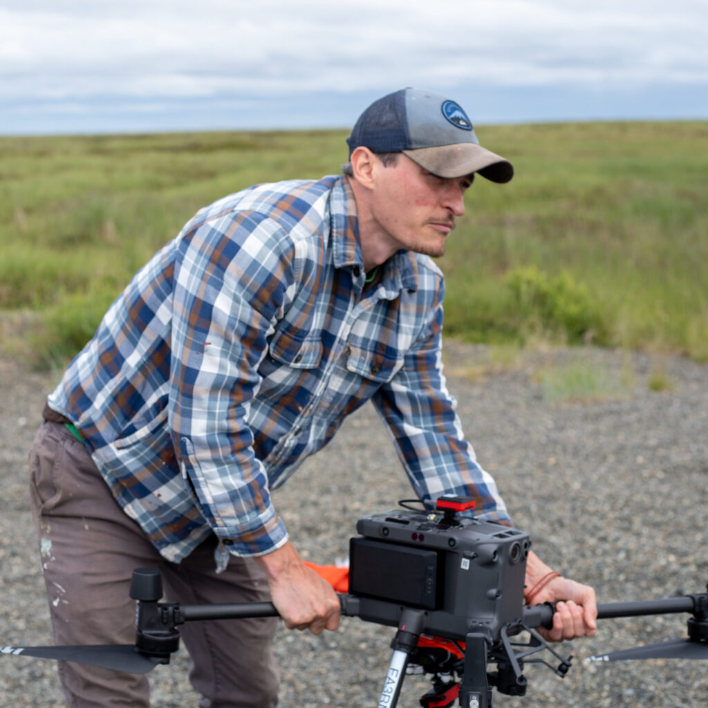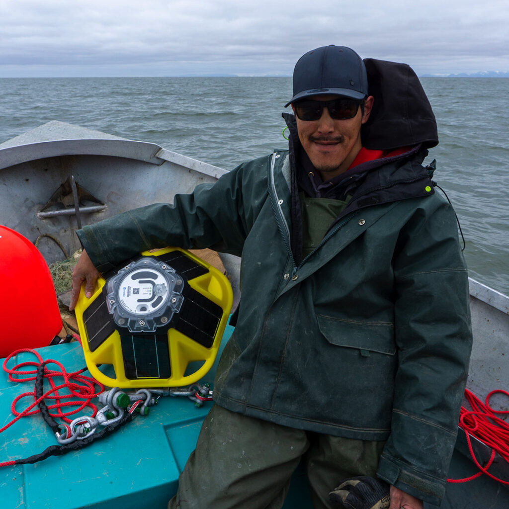

SCC-CIVIC-PG Track A: Dynamic Modeling of Alaskan Riverine Ecosystem Stability to Improve Yup'ik Cultural Resiliency
The Yukon-Kuskokwin Delta, among the world’s largest deltaic ecosystems and the homeland of the Yup’ik, Alaska’s largest Native community, is experiencing unprecedented levels of warming air and water temperatures. These may accentuate erosion and avulsion, sudden changes in river course, which would impact rural communities like the Yup’ik village of Quinhagak, representative of the 75% of AK communities under 1000 people. Determining where, when, and whether to move the village are Quinhagak’s top priorities.