Using our extensive experience and specialized equipment and software, we can create spatially accurate 3D visualizations to generate persistent digital record of buildings, landscapes, erosion areas, and more.
“Nalaquq, LLC provided us with a 3D model for an upcoming construction project, which helped determine the site location for a new fish processing plant.”
Larry Strunk, Vice Chair Independent Fisherman of Quinhagak Co-op
Archaeological Surveys
Conservation
Interviewing Under DOI Specifications
Combining automated UAV flights with custom data processing allows us to 3D model locations with centimeter- grade accuracy. Today, 3D models are an important tool for monitoring community infastructure such as sewers, tank farms, and electric wind turbines.
Image: A 3D model of the village of Quinhagak.
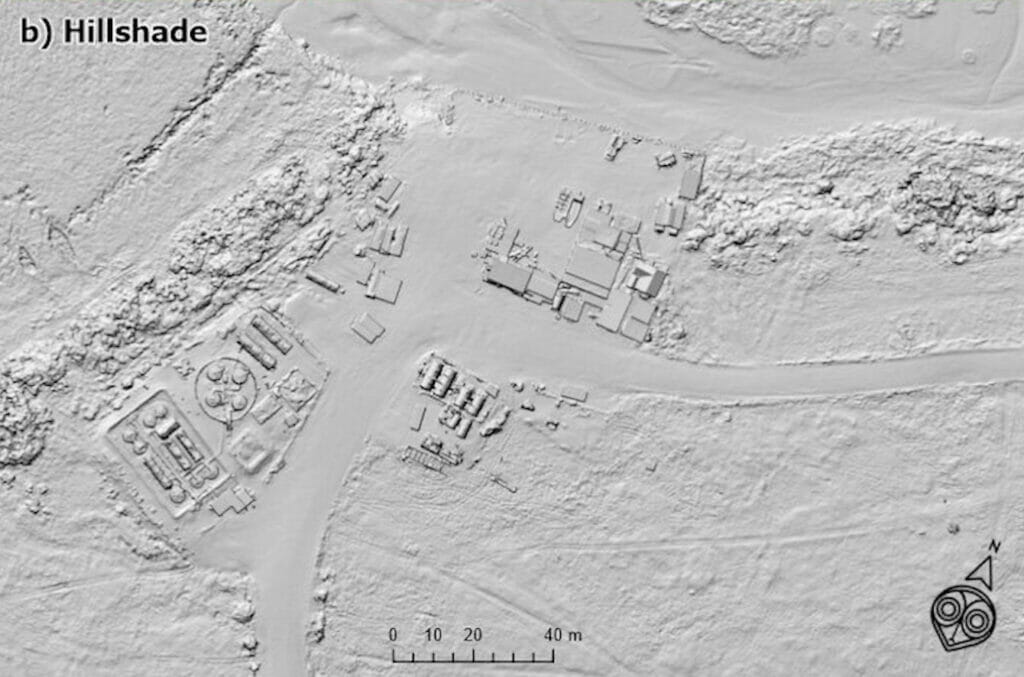
Digital Elevation Models (DEMs) are another useful product to understand landscapes. Using a combination of satellite and UAV imagery we produce highly accurate maps of the topography in a given area.
Image: A DEM of an commercial shipping dock shows the relative average heights of infastrcutre above sea level (ASL).
Overall, 3D products from Nalaquq help reveal new aspects of a location or landscape.